
Imagine you’re cruising on the road, and you hold the power to transform the future of the city's traffic flow! Absolutely yes, now this is truly feasible with the use of personal mobility like e-scooters. The more people on the road, the more usage enables planners to gather accurate data for developing a tech-based city. Every single person who makes their ride leaves behind indications like tire tracks. It produces a continuous stream of geo-location data when the city developers aggregate and clean it.
Its compact design allows you to move in congested areas where most traffic gets jammed. It has become one of the most authentic and verified methods for understanding how micro-mobility riders actually navigate the entire city. We’ll break down how these IP tracking, GPS data, and mobility analytics change your daily casual commutes into these powerful urban developments, then read the guide below and explore. Moreover, you’ll gain insight into how e-scooter telemetry provides thoughtful and accurate urban traffic insights, from GNSS fixes to accelerator data.
From Device to Dashboard: What Signals Build the Map
The foundation of urban micromobility mapping is location. Different technologies contribute varying levels of accuracy and resilience:
- GNSS (GPS, Galileo, GLONASS, BeiDou): The gold standard for positioning, but subject to urban canyon effects and multipath errors.
- Cellular triangulation: Fills gaps when GNSS is unavailable but less precise (50–200 m typical error).
- Wi-Fi / Bluetooth assists: Can tighten fixes indoors or near dense hotspot networks, though reliability depends on local infrastructure.
In dense city centers, GNSS errors can exceed 20 m due to multipath reflections. That’s why accuracy is often expressed statistically, e.g., CEP50 (circular error probable at 50%) and CEP95 (at 95%). A scooter may report CEP50 at 3–5 m, but CEP95 could stretch to 20 m in high-rises.
To bridge gaps, scooters increasingly combine IMU fusion, accelerometers, and gyroscopes that detect motion changes to maintain path continuity when satellite signals fade. This hybrid approach reduces “teleporting” traces and ensures smoother maps.
Sampling Strategy: Getting Useful Data Without Killing Batteries
Precision isn’t just about signals; it’s also about when and how often data is collected.
- Incident-driven Clanks: Smart triggering options like start/stop, instant braking, or geo-fencing breaches eradicate the non-significant data and information, while evaluating the serious riders' behaviors.
- Payload size: It is always critically important to maintain a balance. Telemetry requires proper energy and airtime; that’s why harsh sampling can sometimes affect the range of the e-scooter and compromise the rider's experience.
- Polling intervals: Typical settings are 1–5 seconds when in motion, 30–60 seconds when idle. A quicker polling procedure enhances authenticity and accuracy, but it may degrade battery timing and increase payload size.
A well-approached tactic helps the city planners to gather quality data without compromising the reliability of riders on e-scooters. The best solution is to ensure that all APIs are well secured. Not only that, encryption, consent protocols, and authorization must be supervised as well. These steps will make sure of ethical responsibilities.
Map-Matching and Cleaning: Turning Points into Paths
Raw GPS dots mean little until they’re aligned with real-world maps. Map-matching algorithms snap scooter traces to known road or path graphs, correcting for jitter in tunnels, under trees, or in plazas.
How to clean the data:
- De-noising spikes: Because of multipathing, sometimes instant jumps happen; planners remove them.
- Outlier removal: Sometimes the GPS tracker holds on to the non-significant data that do not make sense, like an e-scooter jumping from a little pull or riding at 200km/h. To get rid of this information from the dataset, the system allows the final traffic map to only fetch accurate and realistic location data.
- Smoothing vs. truth: Find a sweet spot, where planners can remove random GPS errors but still keep the consumer behavior reliable when they make a sharp turn or harsh stop.
After a proper process, the accurate and clean data ensures the planner with a near lane-level confidence, particularly helping in analyzing the location stream.
Privacy by Design: Aggregation & Anonymization
Smart cities must ensure data insights don’t become surveillance. That’s why privacy by design is essential.
- Spatial/temporal generalization: To keep rider data safe, planners collect ride data in 100–250 m tiles (e.g., city block level) instead of exact locations. Time is also generalized into ranges (e.g., 8:00–8:30) so exact ride times remain private.
- Minimum crowd sizes (k-anonymity): To reduce re-identification risks, maps only display areas with at least 3–5 riders.
- Origin-destination pruning: Rare trips that start and end at unusual locations (e.g., two riders at the same private address) are removed from the dataset to protect privacy.
- Opt-outs and retention: Riders should have opt-out options, and operators should enforce data retention limits (e.g., 30–90 days).
Handled this way, scooter telemetry becomes a trusted data stream, not a privacy liability.
Bias and Representativeness
Even perfect data can mislead if biases aren’t understood. Scooter riders aren’t a full proxy for citywide mobility.
- Weather/seasonality: Rain and snow reduce scooter ridership but don’t necessarily affect pedestrian or car traffic in the same way.
- Cross-validation: Comparing scooter counts with independent sensors (e.g., traffic counters, transit boarding data) helps improve accuracy.
- Demographics: Riders tend to be younger and more urban, while low adoption among elderly populations may understate their mobility needs.
- Temporal bias: Commuter peaks differ from weekend leisure patterns, which affects how data should be interpreted.
Recognizing these biases makes scooter data contextual, not absolute.
Use Cases City Teams Actually Want
City mobility teams are less interested in raw traces and more in actionable signals. These use cases align scooter telemetry with policy goals, safety, sustainability, and equitable mobility.
Examples include:
- Slow-zone compliance: Evaluate whether e-scooters slow down near schools, waterfronts, or other designated slow zones.
- Vision Zero hotspots: Identify near-miss or harsh-braking clusters to improve safety and reduce accidents.
- Signal timing optimization: Analyze how scooters (and by extension, other modes of transport) interact with intersections.
- Pop-up lane evaluation: Measure e-scooter usage before and after the installation of temporary bike lanes to assess effectiveness.
Hardware That Improves Location Quality
The quality of urban mobility insights ultimately depends on the hardware inside the scooter.
Features that matter include:
- Multi-band GNSS support (L1/L5): Improves positioning accuracy in dense urban areas.
- High IPX rating: Protects hardware from debris, dust, and rain, ensuring reliable location tracking and data collection.
- IMU-assisted dead reckoning: When GPS signals drop (e.g., under bridges or tunnels), IMU sensors track motion through speed and direction, keeping the path continuous and realistic even without satellite fixes.
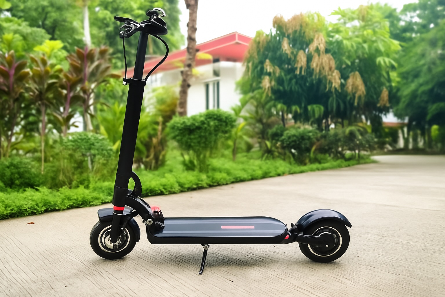
To get more authentic and verified data in dense areas, a GPS-enabled Zero 8 e-scooter with IMU enables you to collect data from spots that get missed sometimes during short trips. When combined with multi-band GNSS and onboard motion sensors, these devices provide more consistent data streams for traffic analysis.
What You Need To Check While Implementing:
City teams and operators can use this high-level checklist to align deployments:
- Signals to collect: GNSS, IMU, events (start/stop, braking, geo-fence).
- Intervals: 1–5 seconds in motion; 30–60 seconds when idle.
- Privacy: Minimum k-anonymity = 3–5, 100–250 m tiles, 15–30 minute windows.
- Map-matching: On/off-road separation and tunnel handling.
- QA dashboards: Monitor drift and error distributions (CEP50/95).
- Retention: 30–90 days, with explicit opt-out options.
- Governance: Lawful basis under local data protection law.
Conclusion: How E-Scooters are Transforming the Future of Smart Cities Development
No doubt, micro-mobility has become the most effective mode of transportation; more than that, it helps in delivering a live data tracking system for smart cities development. If you’re a city developer or planner, geo-location can become a powerful companion that helps you to make the city efficient, affordable, and promote smart mobility forward.
Moreover, a well-maintained e-scooter telemetry delivers highly approved and authentic information on safety, congestion, and infrastructure performance. Its strategy of using technologies like GPS tracking to IP-based intelligence is truly worth buying. Micromobility isn’t just changing how people move; it’s reshaping how cities see mobility itself.
Smart urban mobility and e-scooters are reshaping how city planners approach transportation, using connected GPS tracking and data-driven insights to guide safer, more efficient urban development.
 FAQs
FAQs
With multi-band GNSS and IMU fusion, block-level accuracy (3–5 m CEP50) is achievable even in dense downtowns, though CEP95 may still reach 10–20 m.
For congestion mapping, 5 s intervals are usually sufficient. Event-driven triggers can add detail without draining batteries.
Featured Image by Freepik.
Share this post
Author

Read the latest articles from Tahseen Ameer
Protect Your Ride: Follow the Best Security Practices for E-Scooters on Public Networks
August 29, 2025
Imagine finally buying your dream e-scooter after saving for months and riding it to work or school. On the way, you stop at a coffee shop. After grabbing your drink, you return outside—only to find your scooter gone. The app won’t connect because someone hijacked your [...]
Learn moreLeave a comment
All comments are moderated. Spammy and bot submitted comments are deleted. Please submit the comments that are helpful to others, and we'll approve your comments. A comment that includes outbound link will only be approved if the content is relevant to the topic, and has some value to our readers.
Comments (0)
No comment